CodeInk — Cycling Maps
Kettle Mettle Gravel Fondo Map Art
Exclusive to CodeInk art · 3D flyover included
A human-designed cycling artwork of the 2026 100 km Full Fondo course of the Kettle Mettle Gravel Fondo, a gravel loop from Princeton, physically plotted with ink on 250 gsm paper in Québec City.
- ✓Physically plotted with ink on 250 gsm paper
- ✓Created to order in Québec City
- ✓Personal production timelapse included
- ✓Made to order in Québec City
- ✓Unframed — fits standard 11 x 17 in frames
- ✓Free shipping — Canada only
- ✓Free replacement if damaged
Princeton, British Columbia, Canada. Plotted in real ink, one line at a time, on 250gsm paper.
The course in numbers
Distance
100 km
official distance
The course
The 2026 100 km Full Fondo course of the Kettle Mettle Gravel Fondo, a gravel loop from Princeton, British Columbia, on the Kettle Valley Rail Trail and mountain forest roads.
The 2026 Kettle Mettle Gravel Fondo was raced on Saturday, June 20, starting and finishing at the Princeton Rodeo Grounds in British Columbia. The Full Fondo loop follows the Kettle Valley Rail Trail, then climbs Rampart Creek Road — the main climb, about 410 metres between km 24 and km 36 — and continues on mountain forest roads to the highest point of the course, at 1,597 metres. It comes down Hembrie Mountain Road and returns on the Kettle Valley Rail Trail to Princeton. This is the exact route plotted here — every turn at its precise intersection.
- Start
- Princeton Rodeo Grounds
- Finish
- Princeton Rodeo Grounds
- Main climb
- ≈ +410 m between km 24 and km 36
Why This Ride
The Kettle Mettle is Similkameen Valley gravel: the old Kettle Valley railway and forest roads climbing to nearly 1,600 metres. Here, it's the Full Fondo, the big 100 km loop. Your race, preserved in ink, one line at a time.
Make the Achievement Yours
Add a name, finish time or short dedication to turn the artwork into a personal record of the work behind the medal. Personalization is optional; leave the field blank for the original composition.
How It Is Made
The composition, hierarchy and final linework are directed by a person. A pen plotter then draws the artwork physically, line by line, with ink on paper. Small production variations can occur during physical plotting.
Plotted by a robot. Designed by a person.
Specifications
> FORMAT: Tabloid Standard [11" x 17" / 27.9 × 43.2 cm]
> INK SYSTEM: Stabilo® Fineliner / Sakura® Gelly Roll
> SUBSTRATE: 250gsm High-Density Stock [120lb]
> EXECUTION: Precision Vector Plotting
What you get
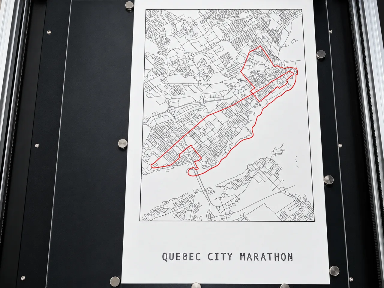
Your piece, plotted in pen
Your name and your time, plotted in ink under the title.
Production timelapse included
The timelapse of your piece being plotted, sent with your order.
Example timelapse — you get the one of your own piece.
A signature only UV light reveals
Serial number, year and Québec City, plotted on the back in UV ink.
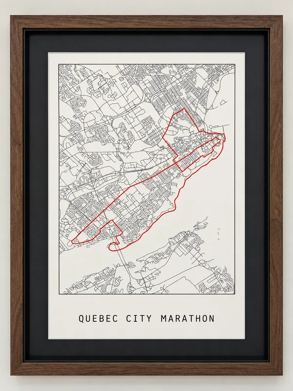
On your wall
Standard 11 × 17 in (27.9 × 43.2 cm): it fits any off-the-shelf frame, so you can pick the one that suits your space.
Frame not included.
A real process, not a printer
Each piece is physically plotted, pen on paper, in Québec City — watch the machine work.
Watch the process14-day returns
Real defects — shipping damage, wrong colour, missing lines — are replaced free of charge.
Read the policySecure checkout
Payments are processed by Stripe. CodeInk.art never sees or stores your card details.
Numbered and signed
A unique serial number and the date are plotted on the back in UV ink — invisible to the naked eye, laid down in the same pass as the drawing.

Independence
Independent artwork inspired by the event named above. CodeInk.art is not affiliated with or endorsed by the organizer.
General questions (size, frame, timelapse…) → The Process
Questions & Answers
Everything you need to know
> STATUS: RESOLVED
The 100 km Full Fondo, starting and finishing at the Princeton Rodeo Grounds.
> STATUS: RESOLVED
Yes: the course follows the old Kettle Valley railway on the way out and back.
> STATUS: RESOLVED
On Rampart Creek Road, about 410 m between km 24 and km 36, then forest roads up to the highest point at 1,597 m.
> STATUS: RESOLVED
Saturday, June 20, 2026, the 11th edition.
> STATUS: RESOLVED
Yes, as a custom commission: we plot the official course of your distance.
> STATUS: RESOLVED
Yes: the profile of the real route is shown on this page, with the Rampart Creek climb highlighted.
Don't see your race?
Request your gran fondo, ride or a personal route: we plot any course on request.